
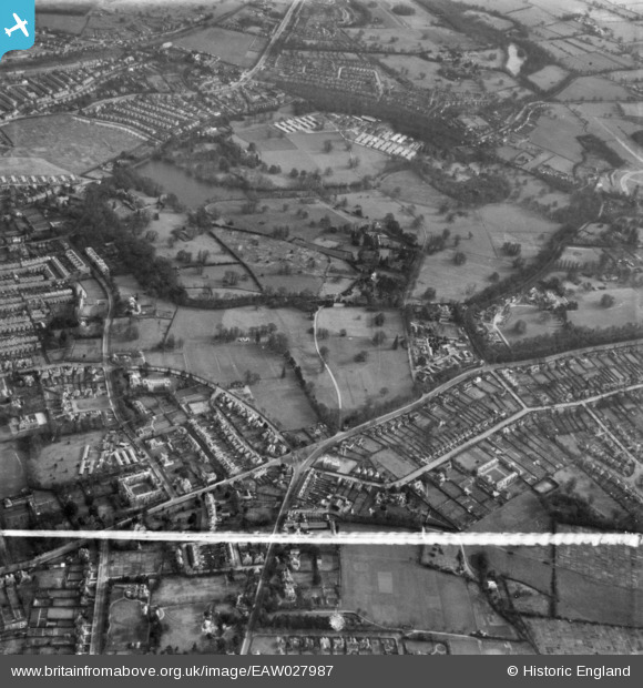
EAW027987 ENGLAND (1950). Whiteknights Park, Reading, 1950. This image has been produced from a print marked by Aerofilms Ltd for photo editing.
© Copyright OpenStreetMap contributors and licensed by the OpenStreetMap Foundation. 2026. Cartography is licensed as CC BY-SA.
Nearby Images (3)
EAW027987

EAW027751

EAW027755

Details
| Title | [EAW027987] Whiteknights Park, Reading, 1950. This image has been produced from a print marked by Aerofilms Ltd for photo editing. |
| Reference | EAW027987 |
| Date | 17-February-1950 |
| Link | |
| Place name | READING |
| Parish | |
| District | |
| Country | ENGLAND |
| Easting / Northing | 473149, 171957 |
| Longitude / Latitude | -0.94740860284118, 51.441386918092 |
| National Grid Reference | SU731720 |


