
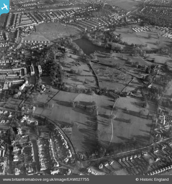
EAW027755 ENGLAND (1949). Whiteknights Park, Reading, 1949. This image has been produced from a print.
© Copyright OpenStreetMap contributors and licensed by the OpenStreetMap Foundation. 2026. Cartography is licensed as CC BY-SA.
Nearby Images (3)
EAW027755

EAW027751

EAW027987

Details
| Title | [EAW027755] Whiteknights Park, Reading, 1949. This image has been produced from a print. |
| Reference | EAW027755 |
| Date | 2-December-1949 |
| Link | |
| Place name | READING |
| Parish | |
| District | |
| Country | ENGLAND |
| Easting / Northing | 473258, 172112 |
| Longitude / Latitude | -0.94580832368636, 51.442766443443 |
| National Grid Reference | SU733721 |


