
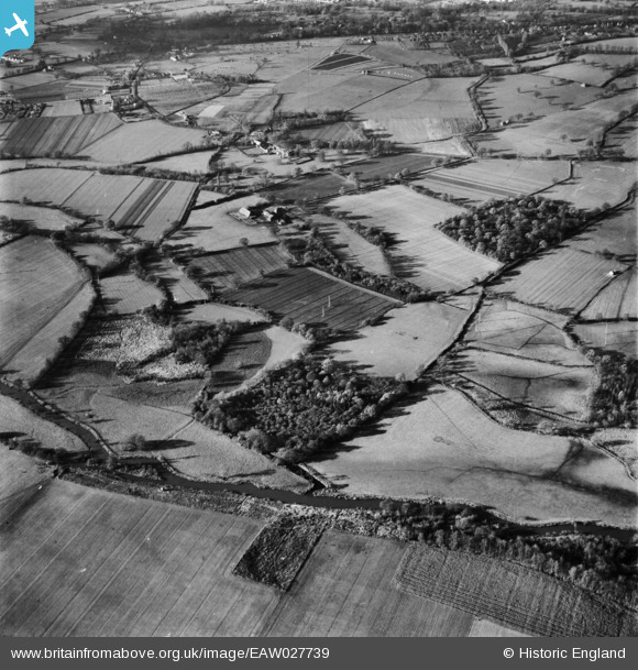
EAW027739 ENGLAND (1949). Countryside around Oldhouse Farm, Shinfield, 1949
© Copyright OpenStreetMap contributors and licensed by the OpenStreetMap Foundation. 2026. Cartography is licensed as CC BY-SA.
Nearby Images (2)
EAW027739

EAW027738

Details
| Title | [EAW027739] Countryside around Oldhouse Farm, Shinfield, 1949 |
| Reference | EAW027739 |
| Date | 2-December-1949 |
| Link | |
| Place name | SHINFIELD |
| Parish | SHINFIELD |
| District | |
| Country | ENGLAND |
| Easting / Northing | 474782, 168708 |
| Longitude / Latitude | -0.92460063419044, 51.411961749396 |
| National Grid Reference | SU748687 |
Pins

designking |
Saturday 13th of September 2014 08:25:02 PM | |
|
designking |
Saturday 13th of September 2014 08:24:15 PM |