
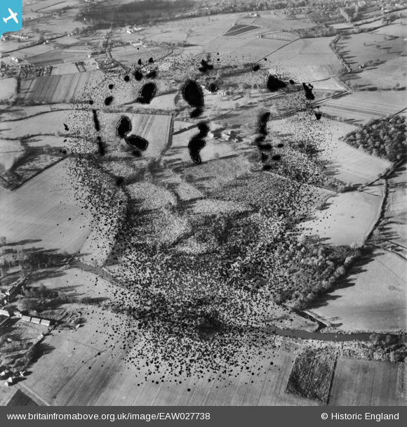
EAW027738 ENGLAND (1949). Countryside around Oldhouse Farm, Shinfield, 1949. This image has been produced from a damaged negative.
© Copyright OpenStreetMap contributors and licensed by the OpenStreetMap Foundation. 2026. Cartography is licensed as CC BY-SA.
Nearby Images (2)
EAW027738

EAW027739

Details
| Title | [EAW027738] Countryside around Oldhouse Farm, Shinfield, 1949. This image has been produced from a damaged negative. |
| Reference | EAW027738 |
| Date | 2-December-1949 |
| Link | |
| Place name | SHINFIELD |
| Parish | SHINFIELD |
| District | |
| Country | ENGLAND |
| Easting / Northing | 474695, 168577 |
| Longitude / Latitude | -0.92587910036072, 51.410795391008 |
| National Grid Reference | SU747686 |
Pins
Be the first to add a comment to this image!