
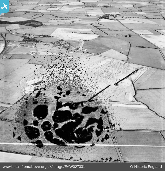
EAW027331 ENGLAND (1949). Opencast Coal Mining site opposite the village, Widdrington Station, 1949. This image has been produced from a damaged negative.
© Copyright OpenStreetMap contributors and licensed by the OpenStreetMap Foundation. 2026. Cartography is licensed as CC BY-SA.
Nearby Images (7)
EAW027331

EAW027330

EAW027332

EAW027339

EAW027340

EAW052314

EAW027333

Details
| Title | [EAW027331] Opencast Coal Mining site opposite the village, Widdrington Station, 1949. This image has been produced from a damaged negative. |
| Reference | EAW027331 |
| Date | 21-October-1949 |
| Link | |
| Place name | WIDDRINGTON STATION |
| Parish | WIDDRINGTON STATION AND STOBSWOOD |
| District | |
| Country | ENGLAND |
| Easting / Northing | 425232, 593196 |
| Longitude / Latitude | -1.6032212728698, 55.232284759788 |
| National Grid Reference | NZ252932 |
Pins
Be the first to add a comment to this image!