
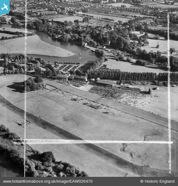
EAW026470 ENGLAND (1949). Windsor, Race day at Royal Windsor Racecourse, 1949. This image was marked by Aerofilms Ltd for photo editing.
© Copyright OpenStreetMap contributors and licensed by the OpenStreetMap Foundation. 2026. Cartography is licensed as CC BY-SA.
Nearby Images (7)
EAW026470

EPW022607

EAW026468

EAW026469

EAW026467

EAW026466

EPW049582

Details
| Title | [EAW026470] Windsor, Race day at Royal Windsor Racecourse, 1949. This image was marked by Aerofilms Ltd for photo editing. |
| Reference | EAW026470 |
| Date | 10-September-1949 |
| Link | |
| Place name | WINDSOR |
| Parish | |
| District | |
| Country | ENGLAND |
| Easting / Northing | 495200, 177630 |
| Longitude / Latitude | -0.62865971574241, 51.48910950923 |
| National Grid Reference | SU952776 |
Pins
Be the first to add a comment to this image!