
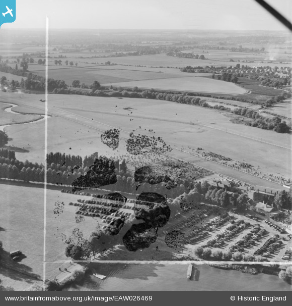
EAW026469 ENGLAND (1949). Windsor, Race day at Royal Windsor Racecourse, from the south-east, 1949. This image has been produced from a damaged negative.
© Copyright OpenStreetMap contributors and licensed by the OpenStreetMap Foundation. 2026. Cartography is licensed as CC BY-SA.
Nearby Images (6)
EAW026469

EAW026470

EPW022607

EAW026468

EAW026467

EPW049582

Details
| Title | [EAW026469] Windsor, Race day at Royal Windsor Racecourse, from the south-east, 1949. This image has been produced from a damaged negative. |
| Reference | EAW026469 |
| Date | 10-September-1949 |
| Link | |
| Place name | WINDSOR |
| Parish | |
| District | |
| Country | ENGLAND |
| Easting / Northing | 495221, 177535 |
| Longitude / Latitude | -0.62838293854527, 51.488251927652 |
| National Grid Reference | SU952775 |
Pins
Be the first to add a comment to this image!