
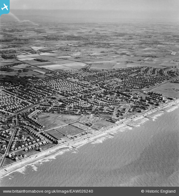
EAW026240 ENGLAND (1949). The town, Cleveleys, from the north-west, 1949
© Copyright OpenStreetMap contributors and licensed by the OpenStreetMap Foundation. 2026. Cartography is licensed as CC BY-SA.
Nearby Images (5)
EAW026240

EAW001059

EAW001056

EAW001058

EAW001057

Details
| Title | [EAW026240] The town, Cleveleys, from the north-west, 1949 |
| Reference | EAW026240 |
| Date | 15-August-1949 |
| Link | |
| Place name | CLEVELEYS |
| Parish | |
| District | |
| Country | ENGLAND |
| Easting / Northing | 331235, 443521 |
| Longitude / Latitude | -3.0462440095836, 53.883110569825 |
| National Grid Reference | SD312435 |
