
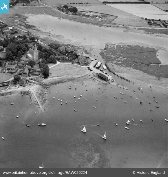
EAW026224 ENGLAND (1949). Bosham Quay, Bosham, 1949
© Copyright OpenStreetMap contributors and licensed by the OpenStreetMap Foundation. 2026. Cartography is licensed as CC BY-SA.
Nearby Images (4)
EAW026224

EAW026223

EAW026219

EAW026221

Details
| Title | [EAW026224] Bosham Quay, Bosham, 1949 |
| Reference | EAW026224 |
| Date | 12-August-1949 |
| Link | |
| Place name | BOSHAM |
| Parish | BOSHAM |
| District | |
| Country | ENGLAND |
| Easting / Northing | 480317, 103819 |
| Longitude / Latitude | -0.85947981945835, 50.8277689446 |
| National Grid Reference | SU803038 |
Pins

Good Old Uncle Ted |
Thursday 1st of December 2022 06:22:31 PM |