
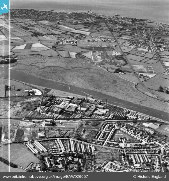
EAW026057 ENGLAND (1949). The Lune Mills and environs, Lancaster, 1949. This image has been produced from a print marked by Aerofilms Ltd for photo editing.
© Copyright OpenStreetMap contributors and licensed by the OpenStreetMap Foundation. 2026. Cartography is licensed as CC BY-SA.
Nearby Images (3)
EAW026057

EAW026058

EAW026056

Details
| Title | [EAW026057] The Lune Mills and environs, Lancaster, 1949. This image has been produced from a print marked by Aerofilms Ltd for photo editing. |
| Reference | EAW026057 |
| Date | 15-August-1949 |
| Link | |
| Place name | LANCASTER |
| Parish | |
| District | |
| Country | ENGLAND |
| Easting / Northing | 346002, 462111 |
| Longitude / Latitude | -2.8248894090621, 54.051942072991 |
| National Grid Reference | SD460621 |
Pins

Matt Aldred edob.mattaldred.com |
Thursday 19th of May 2022 01:50:55 PM | |
|
Matt Aldred edob.mattaldred.com |
Thursday 19th of May 2022 01:50:44 PM |