
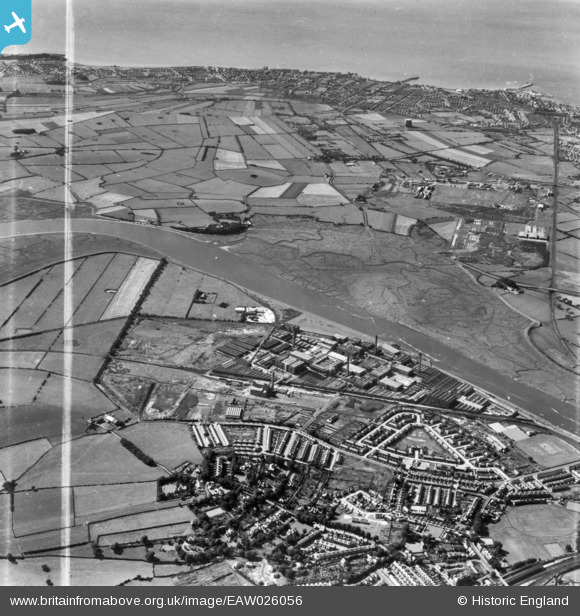
EAW026056 ENGLAND (1949). The Lune Mills and environs, Lancaster, 1949. This image has been produced from a print marked by Aerofilms Ltd for photo editing.
© Copyright OpenStreetMap contributors and licensed by the OpenStreetMap Foundation. 2026. Cartography is licensed as CC BY-SA.
Nearby Images (7)
EAW026056

EAW026058

EPW038713
 and environs, Lancaster, from the north-west, 1932")
EPW038715
 and environs, Lancaster, from the west, 1932")
EPW038712
 and environs, Lancaster, from the west, 1932")
EPW002089
 and environs, Lancaster, 1920. This image has been produced from a copy negative.")
EAW026057

Details
| Title | [EAW026056] The Lune Mills and environs, Lancaster, 1949. This image has been produced from a print marked by Aerofilms Ltd for photo editing. |
| Reference | EAW026056 |
| Date | 15-August-1949 |
| Link | |
| Place name | LANCASTER |
| Parish | |
| District | |
| Country | ENGLAND |
| Easting / Northing | 345782, 461884 |
| Longitude / Latitude | -2.8282092302613, 54.049878772412 |
| National Grid Reference | SD458619 |
