
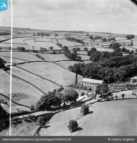
EAW025229 ENGLAND (1949). The Ellar Carr Worsted Mill and the surrounding countryside, Cullingworth, from the north-east, 1949. This image was marked by Aerofilms Ltd for photo editing.
© Copyright OpenStreetMap contributors and licensed by the OpenStreetMap Foundation. 2026. Cartography is licensed as CC BY-SA.
Nearby Images (9)
EAW025229

EAW025226

EAW025223

EAW025221

EAW025224

EAW025228

EAW025225

EAW025222

EAW025227

Details
| Title | [EAW025229] The Ellar Carr Worsted Mill and the surrounding countryside, Cullingworth, from the north-east, 1949. This image was marked by Aerofilms Ltd for photo editing. |
| Reference | EAW025229 |
| Date | 26-July-1949 |
| Link | |
| Place name | CULLINGWORTH |
| Parish | CULLINGWORTH |
| District | |
| Country | ENGLAND |
| Easting / Northing | 406641, 437010 |
| Longitude / Latitude | -1.8990903884581, 53.829100438427 |
| National Grid Reference | SE066370 |
Pins
Be the first to add a comment to this image!