
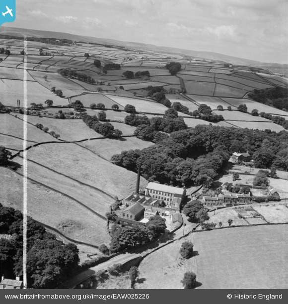
EAW025226 ENGLAND (1949). The Ellar Carr Worsted Mill, Cullingworth, from the east, 1949
© Copyright OpenStreetMap contributors and licensed by the OpenStreetMap Foundation. 2026. Cartography is licensed as CC BY-SA.
Nearby Images (9)
EAW025226

EAW025223

EAW025229

EAW025221

EAW025228

EAW025225

EAW025224

EAW025222

EAW025227

Details
| Title | [EAW025226] The Ellar Carr Worsted Mill, Cullingworth, from the east, 1949 |
| Reference | EAW025226 |
| Date | 26-July-1949 |
| Link | |
| Place name | CULLINGWORTH |
| Parish | CULLINGWORTH |
| District | |
| Country | ENGLAND |
| Easting / Northing | 406615, 436999 |
| Longitude / Latitude | -1.8994856929922, 53.829001891581 |
| National Grid Reference | SE066370 |
Pins
Be the first to add a comment to this image!