
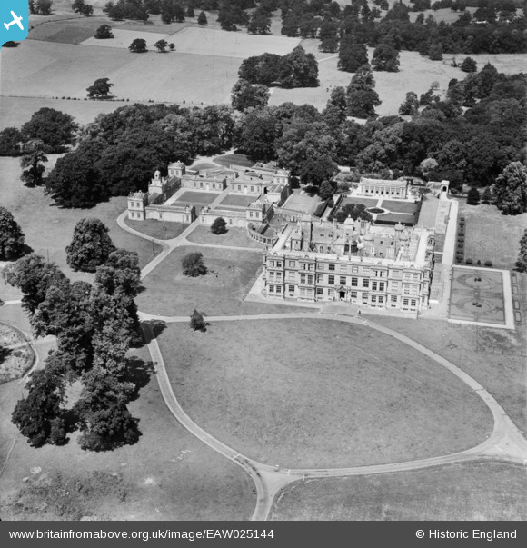
EAW025144 ENGLAND (1949). Longleat House, Longleat Park, 1949
© Copyright OpenStreetMap contributors and licensed by the OpenStreetMap Foundation. 2025. Cartography is licensed as CC BY-SA.
Nearby Images (6)
EAW025144

EAW025146

EAW025147

EAW025143

EAW025145

EAW025142

Details
| Title | [EAW025144] Longleat House, Longleat Park, 1949 |
| Reference | EAW025144 |
| Date | 25-July-1949 |
| Link | |
| Place name | LONGLEAT PARK |
| Parish | HORNINGSHAM |
| District | |
| Country | ENGLAND |
| Easting / Northing | 380893, 142958 |
| Longitude / Latitude | -2.2734125317671, 51.185010662553 |
| National Grid Reference | ST809430 |
Pins
Be the first to add a comment to this image!