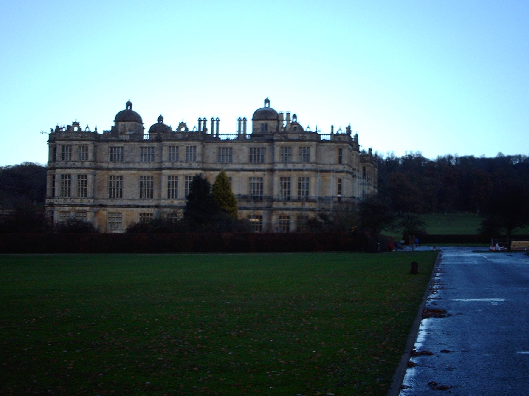
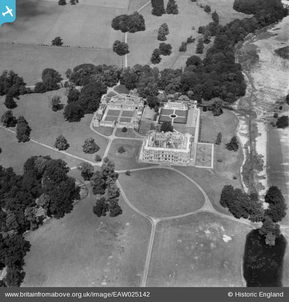
EAW025142 ENGLAND (1949). Longleat House, Longleat Park, 1949
© Copyright OpenStreetMap contributors and licensed by the OpenStreetMap Foundation. 2025. Cartography is licensed as CC BY-SA.
Nearby Images (6)
EAW025142

EAW025143

EAW025147

EAW025146

EAW025144

EAW025145

Details
| Title | [EAW025142] Longleat House, Longleat Park, 1949 |
| Reference | EAW025142 |
| Date | 25-July-1949 |
| Link | |
| Place name | LONGLEAT PARK |
| Parish | HORNINGSHAM |
| District | |
| Country | ENGLAND |
| Easting / Northing | 380767, 143057 |
| Longitude / Latitude | -2.2752208147606, 51.185896731369 |
| National Grid Reference | ST808431 |
Pins
 Class31 |
Monday 16th of December 2013 11:15:39 AM |