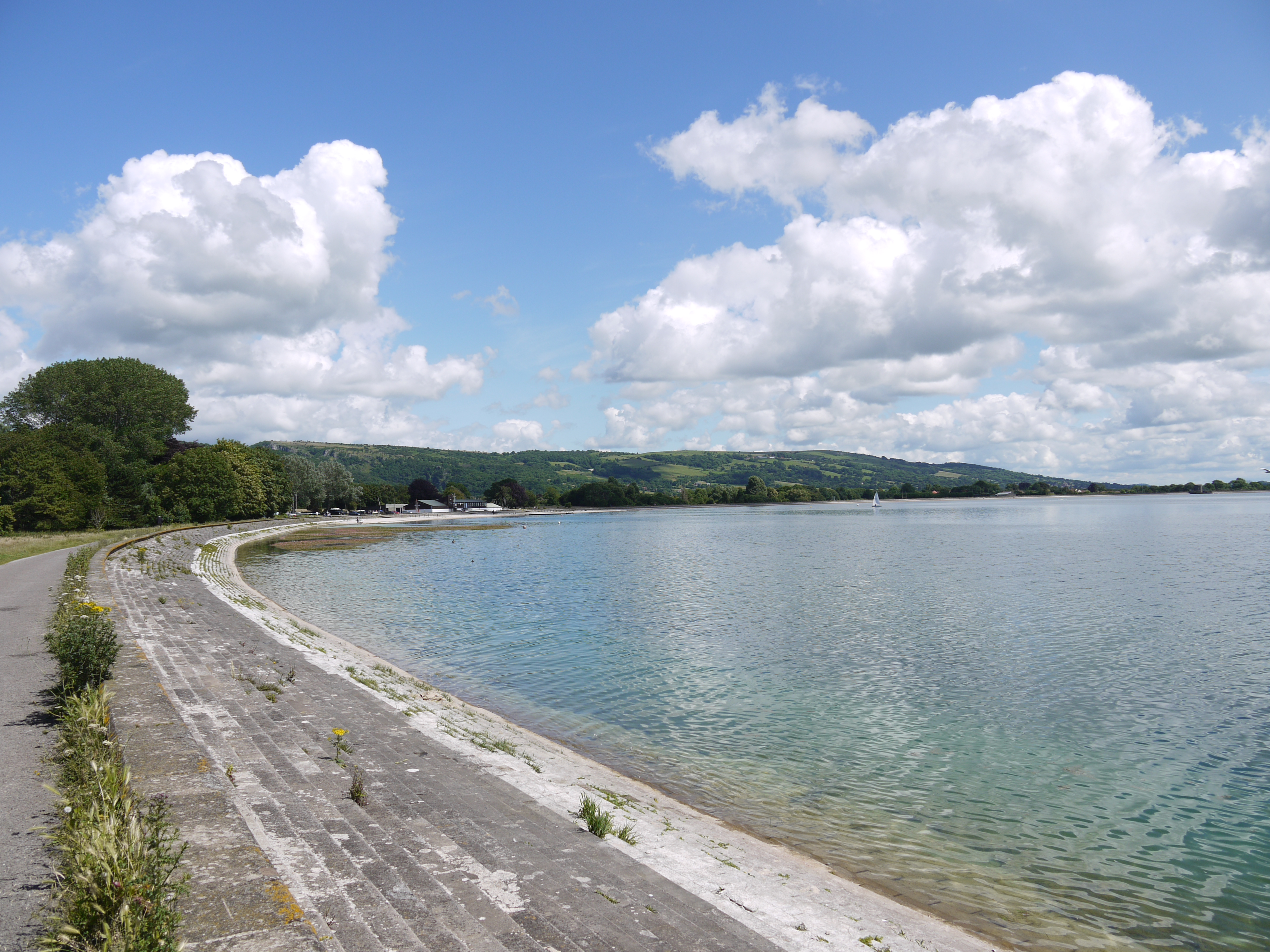
EAW025106 ENGLAND (1949). Cheddar Reservoir, Cheddar, from the west, 1949. This image has been produced from a print.

© Copyright OpenStreetMap contributors and licensed by the OpenStreetMap Foundation. 2026. Cartography is licensed as CC BY-SA.
Nearby Images (4)
EAW025106

EAW025107

EAW025105

EAW025099

Details
| Title | [EAW025106] Cheddar Reservoir, Cheddar, from the west, 1949. This image has been produced from a print. |
| Reference | EAW025106 |
| Date | 25-July-1949 |
| Link | |
| Place name | CHEDDAR |
| Parish | CHEDDAR |
| District | |
| Country | ENGLAND |
| Easting / Northing | 343666, 153864 |
| Longitude / Latitude | -2.8077915600077, 51.280620446305 |
| National Grid Reference | ST437539 |
Pins
Be the first to add a comment to this image!