
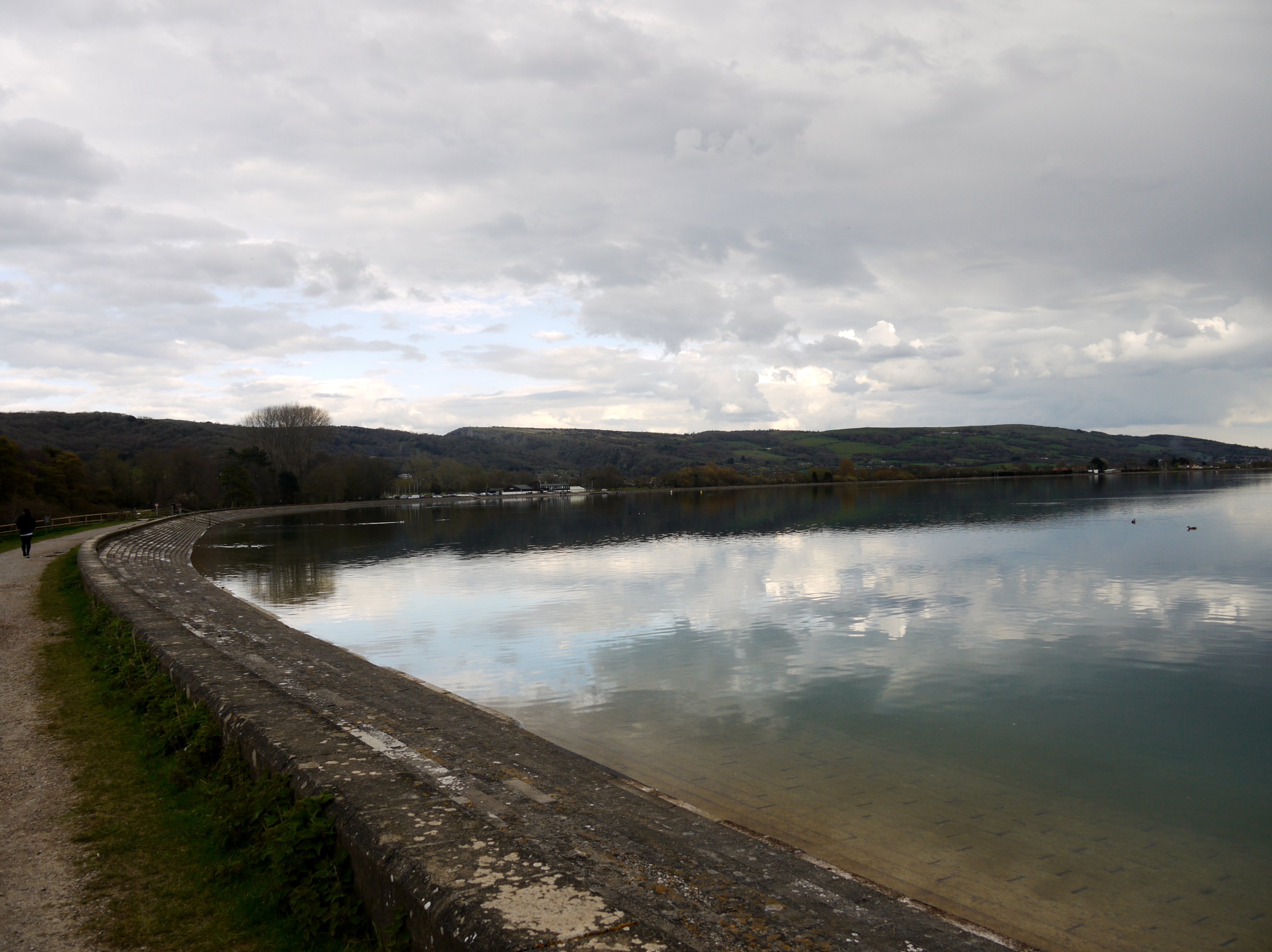
EAW025105 ENGLAND (1949). Cheddar Reservoir, Cheddar, from the west, 1949. This image has been produced from a damaged negative.

© Copyright OpenStreetMap contributors and licensed by the OpenStreetMap Foundation. 2026. Cartography is licensed as CC BY-SA.
Nearby Images (4)
EAW025105

EAW025107

EAW025106

EAW025099

Details
| Title | [EAW025105] Cheddar Reservoir, Cheddar, from the west, 1949. This image has been produced from a damaged negative. |
| Reference | EAW025105 |
| Date | 25-July-1949 |
| Link | |
| Place name | CHEDDAR |
| Parish | CHEDDAR |
| District | |
| Country | ENGLAND |
| Easting / Northing | 343689, 153770 |
| Longitude / Latitude | -2.8074469708056, 51.279777477549 |
| National Grid Reference | ST437538 |
Pins
Be the first to add a comment to this image!
User Comment Contributions
Cheddar Reservoir, 13/04/2016 |

Class31 |
Friday 15th of April 2016 04:53:15 PM |