
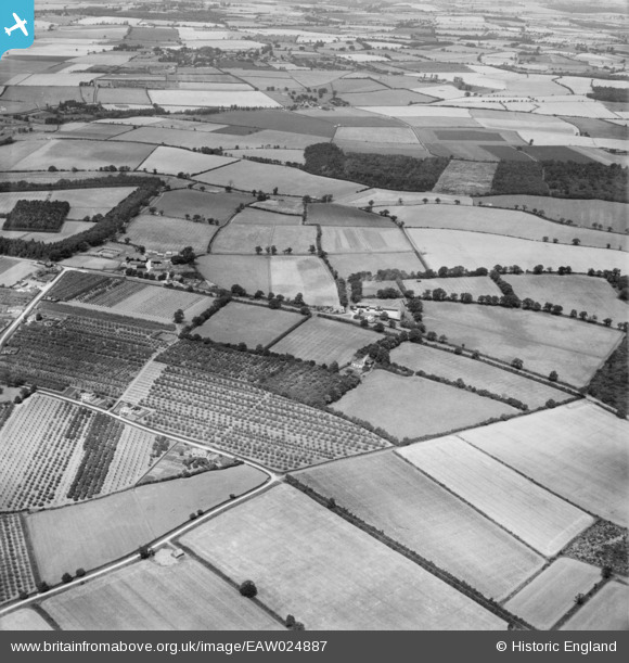
EAW024887 ENGLAND (1949). Fruit growing and the countryside around Home Farm and Loppingdale Farm, Elsenham, 1949
© Copyright OpenStreetMap contributors and licensed by the OpenStreetMap Foundation. 2026. Cartography is licensed as CC BY-SA.
Nearby Images (3)
EAW024887

EAW024882

EAW024881

Details
| Title | [EAW024887] Fruit growing and the countryside around Home Farm and Loppingdale Farm, Elsenham, 1949 |
| Reference | EAW024887 |
| Date | 21-July-1949 |
| Link | |
| Place name | ELSENHAM |
| Parish | ELSENHAM |
| District | |
| Country | ENGLAND |
| Easting / Northing | 555421, 225345 |
| Longitude / Latitude | 0.25949627710986, 51.90449754135 |
| National Grid Reference | TL554253 |
Pins
Be the first to add a comment to this image!