
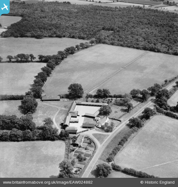
EAW024882 ENGLAND (1949). Loppingdale Farm, Elsenham, 1949
© Copyright OpenStreetMap contributors and licensed by the OpenStreetMap Foundation. 2026. Cartography is licensed as CC BY-SA.
Nearby Images (2)
EAW024882

EAW024887

Details
| Title | [EAW024882] Loppingdale Farm, Elsenham, 1949 |
| Reference | EAW024882 |
| Date | 21-July-1949 |
| Link | |
| Place name | ELSENHAM |
| Parish | ELSENHAM |
| District | |
| Country | ENGLAND |
| Easting / Northing | 555582, 225401 |
| Longitude / Latitude | 0.26186019636179, 51.904955753208 |
| National Grid Reference | TL556254 |
Pins
Be the first to add a comment to this image!