
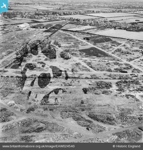
EAW024540 ENGLAND (1949). The site of the Cannock Chase Collieries, Chasetown, 1949. This image has been produced from a damaged negative.
© Copyright OpenStreetMap contributors and licensed by the OpenStreetMap Foundation. 2026. Cartography is licensed as CC BY-SA.
Nearby Images (9)
EAW024540

EAW024532

EAW024533

EAW024541

EAW024536

EAW024537

EAW024535

EAW024539

EPW015118

Details
| Title | [EAW024540] The site of the Cannock Chase Collieries, Chasetown, 1949. This image has been produced from a damaged negative. |
| Reference | EAW024540 |
| Date | 8-July-1949 |
| Link | |
| Place name | CHASETOWN |
| Parish | BURNTWOOD |
| District | |
| Country | ENGLAND |
| Easting / Northing | 404113, 308672 |
| Longitude / Latitude | -1.9391622989893, 52.6753896289 |
| National Grid Reference | SK041087 |
