
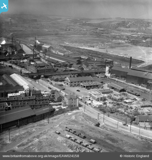
EAW024158 ENGLAND (1949). The Steel, Peech and Tozer Ickles Steel Works and the surrounding area, Ickles, from the east, 1949
© Copyright OpenStreetMap contributors and licensed by the OpenStreetMap Foundation. 2026. Cartography is licensed as CC BY-SA.
Nearby Images (9)
EAW024158

EAW030494

EAW025972

EPW041705

EAW029397

EPW041695

EAW024153

EAW024155

EAW025971

Details
| Title | [EAW024158] The Steel, Peech and Tozer Ickles Steel Works and the surrounding area, Ickles, from the east, 1949 |
| Reference | EAW024158 |
| Date | 22-June-1949 |
| Link | |
| Place name | ICKLES |
| Parish | |
| District | |
| Country | ENGLAND |
| Easting / Northing | 442052, 391879 |
| Longitude / Latitude | -1.3671419008924, 53.421771476285 |
| National Grid Reference | SK421919 |
Pins

John Wass |
Wednesday 17th of August 2016 09:30:26 PM | |
MandM |
Sunday 16th of November 2014 12:16:13 PM | |
MandM |
Sunday 16th of November 2014 12:15:26 PM | |
MandM |
Sunday 16th of November 2014 12:14:13 PM | |
MandM |
Sunday 16th of November 2014 12:12:50 PM |