
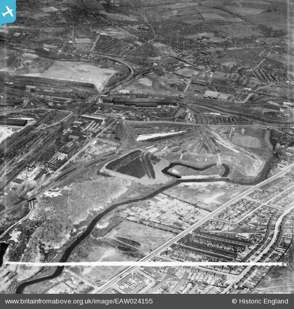
EAW024155 ENGLAND (1949). The Steel, Peech and Tozer Ickles Steel Works and the surrounding area, Ickles, 1949. This image was marked by Aerofilms Ltd for photo editing.
© Copyright OpenStreetMap contributors and licensed by the OpenStreetMap Foundation. 2026. Cartography is licensed as CC BY-SA.
Nearby Images (4)
EAW024155

EAW024158

EAW030494

EAW025972

Details
| Title | [EAW024155] The Steel, Peech and Tozer Ickles Steel Works and the surrounding area, Ickles, 1949. This image was marked by Aerofilms Ltd for photo editing. |
| Reference | EAW024155 |
| Date | 22-June-1949 |
| Link | |
| Place name | ICKLES |
| Parish | |
| District | |
| Country | ENGLAND |
| Easting / Northing | 442240, 391750 |
| Longitude / Latitude | -1.3643300969399, 53.420596867987 |
| National Grid Reference | SK422918 |
Pins
MandM |
Sunday 16th of November 2014 12:10:59 PM | |
MandM |
Sunday 16th of November 2014 12:09:43 PM | |
MandM |
Sunday 16th of November 2014 12:08:23 PM | |
MandM |
Sunday 16th of November 2014 12:07:24 PM | |
MandM |
Sunday 16th of November 2014 12:06:33 PM | |
MandM |
Sunday 16th of November 2014 12:05:22 PM | |
MandM |
Sunday 16th of November 2014 12:04:28 PM | |
MandM |
Sunday 16th of November 2014 12:03:38 PM | |
MandM |
Sunday 16th of November 2014 12:02:39 PM |