
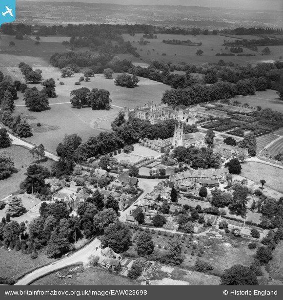
EAW023698 ENGLAND (1949). Penshurst Place, St John the Baptist's Church and the village, Penshurst, 1949
© Copyright OpenStreetMap contributors and licensed by the OpenStreetMap Foundation. 2026. Cartography is licensed as CC BY-SA.
Nearby Images (5)
EAW023698

EAW023701

EAW023699

EAW023700

EAW023702

Details
| Title | [EAW023698] Penshurst Place, St John the Baptist's Church and the village, Penshurst, 1949 |
| Reference | EAW023698 |
| Date | 12-June-1949 |
| Link | |
| Place name | PENSHURST |
| Parish | PENSHURST |
| District | |
| Country | ENGLAND |
| Easting / Northing | 552676, 143882 |
| Longitude / Latitude | 0.18427950346212, 51.173246317602 |
| National Grid Reference | TQ527439 |
Pins

Alan McFaden |
Saturday 11th of January 2014 11:40:38 AM | |
|
Alan McFaden |
Saturday 11th of January 2014 11:39:50 AM |

