
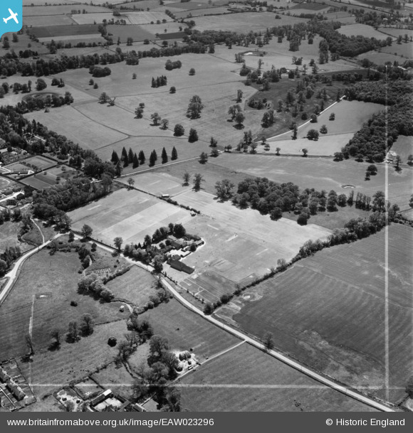
EAW023296 ENGLAND (1949). Kimbolton School and Park, Kimbolton, 1949. This image was marked by Aerofilms Ltd for photo editing.
© Copyright OpenStreetMap contributors and licensed by the OpenStreetMap Foundation. 2026. Cartography is licensed as CC BY-SA.
Nearby Images (5)
EAW023296

EAW023295

EAW023292

EAW023293

EAW023294

Details
| Title | [EAW023296] Kimbolton School and Park, Kimbolton, 1949. This image was marked by Aerofilms Ltd for photo editing. |
| Reference | EAW023296 |
| Date | 25-May-1949 |
| Link | |
| Place name | KIMBOLTON |
| Parish | KIMBOLTON |
| District | |
| Country | ENGLAND |
| Easting / Northing | 509396, 267957 |
| Longitude / Latitude | -0.39558351471996, 52.298439622742 |
| National Grid Reference | TL094680 |
Pins

User Comment Contributions
For more details on Kimbolton Castle and School, see www.kimbolton.cambs.sch.uk/page/?title=Kimbolton+Castle&pid=2. |

melgibbs |
Saturday 15th of February 2014 04:25:35 PM |