
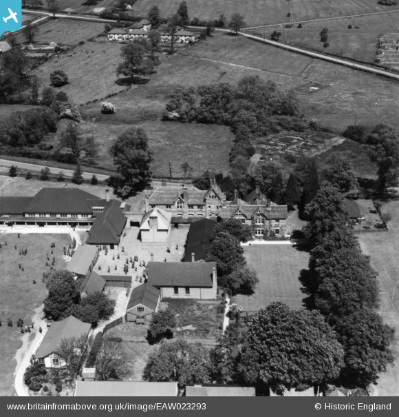
EAW023293 ENGLAND (1949). Kimbolton School, Kimbolton, 1949. This image has been produced from a print.
© Copyright OpenStreetMap contributors and licensed by the OpenStreetMap Foundation. 2026. Cartography is licensed as CC BY-SA.
Nearby Images (5)
EAW023293

EAW023294

EAW023292

EAW023296

EAW023295

Details
| Title | [EAW023293] Kimbolton School, Kimbolton, 1949. This image has been produced from a print. |
| Reference | EAW023293 |
| Date | 25-May-1949 |
| Link | |
| Place name | KIMBOLTON |
| Parish | KIMBOLTON |
| District | |
| Country | ENGLAND |
| Easting / Northing | 509430, 268129 |
| Longitude / Latitude | -0.39502917822059, 52.299978742976 |
| National Grid Reference | TL094681 |
Pins
Be the first to add a comment to this image!