
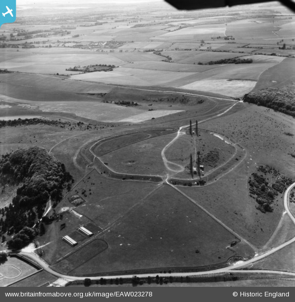
EAW023278 ENGLAND (1949). The Trundle, St Roche's Hill, 1949. This image has been produced from a print.
© Copyright OpenStreetMap contributors and licensed by the OpenStreetMap Foundation. 2026. Cartography is licensed as CC BY-SA.
Nearby Images (3)
EAW023278

EAW023277

EAW023279

Details
| Title | [EAW023278] The Trundle, St Roche's Hill, 1949. This image has been produced from a print. |
| Reference | EAW023278 |
| Date | 19-May-1949 |
| Link | |
| Place name | ST ROCHE'S HILL |
| Parish | SINGLETON |
| District | |
| Country | ENGLAND |
| Easting / Northing | 487775, 111047 |
| Longitude / Latitude | -0.75186614564091, 50.891675457743 |
| National Grid Reference | SU878110 |
Pins
Be the first to add a comment to this image!