
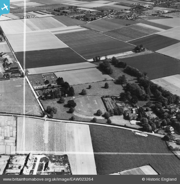
EAW023264 ENGLAND (1949). Lindfield School (The Chantry) on Foxbury Lane and the surrounding area, Westbourne, 1949. This image has been produced from a print marked by Aerofilms Ltd for photo editing.
© Copyright OpenStreetMap contributors and licensed by the OpenStreetMap Foundation. 2026. Cartography is licensed as CC BY-SA.
Nearby Images (4)
EAW023264
 on Foxbury Lane and the surrounding area, Westbourne, 1949. This image has been produced from a print marked by Aerofilms Ltd for photo editing.")
EAW023266
 on Foxbury Lane, Westbourne, 1949. This image has been produced from a print.")
EAW023267
 on Foxbury Lane, Westbourne, 1949. This image was marked by Aerofilms Ltd for photo editing.")
EAW023265
 on Foxbury Lane and the surrounding area, Westbourne, from the north-west, 1949. This image has been produced from a print marked by Aerofilms Ltd for photo editing.")
Details
| Title | [EAW023264] Lindfield School (The Chantry) on Foxbury Lane and the surrounding area, Westbourne, 1949. This image has been produced from a print marked by Aerofilms Ltd for photo editing. |
| Reference | EAW023264 |
| Date | 19-May-1949 |
| Link | |
| Place name | WESTBOURNE |
| Parish | WESTBOURNE |
| District | |
| Country | ENGLAND |
| Easting / Northing | 476175, 107439 |
| Longitude / Latitude | -0.91753265173833, 50.860879671489 |
| National Grid Reference | SU762074 |
Pins
Be the first to add a comment to this image!