
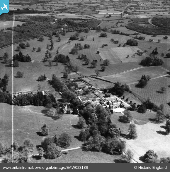
EAW023186 ENGLAND (1949). All Hallows Preparatory School and the surrounding countryside, East Cranmore, 1949. This image has been produced from a print marked by Aerofilms Ltd for photo editing.
© Copyright OpenStreetMap contributors and licensed by the OpenStreetMap Foundation. 2025. Cartography is licensed as CC BY-SA.
Nearby Images (5)
EAW023186

EAW023184

EAW023187

EAW023259
, East Cranmore, 1949")
EAW023185

Details
| Title | [EAW023186] All Hallows Preparatory School and the surrounding countryside, East Cranmore, 1949. This image has been produced from a print marked by Aerofilms Ltd for photo editing. |
| Reference | EAW023186 |
| Date | 6-May-1949 |
| Link | |
| Place name | EAST CRANMORE |
| Parish | CRANMORE |
| District | |
| Country | ENGLAND |
| Easting / Northing | 368343, 143787 |
| Longitude / Latitude | -2.4530656240537, 51.191908167203 |
| National Grid Reference | ST683438 |
Pins
Be the first to add a comment to this image!