
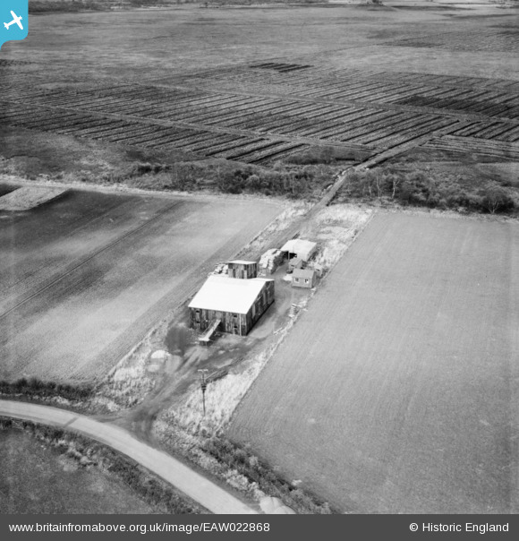
EAW022868 ENGLAND (1949). Peat Mill to the north of Millrigg Farm, Glasson Moss, 1949
© Copyright OpenStreetMap contributors and licensed by the OpenStreetMap Foundation. 2026. Cartography is licensed as CC BY-SA.
Nearby Images (3)
EAW022868

EAW022873

EAW022874

Details
| Title | [EAW022868] Peat Mill to the north of Millrigg Farm, Glasson Moss, 1949 |
| Reference | EAW022868 |
| Date | 26-April-1949 |
| Link | |
| Place name | GLASSON MOSS |
| Parish | BOWNESS |
| District | |
| Country | ENGLAND |
| Easting / Northing | 323215, 559728 |
| Longitude / Latitude | -3.1983044081784, 54.926243218869 |
| National Grid Reference | NY232597 |

