
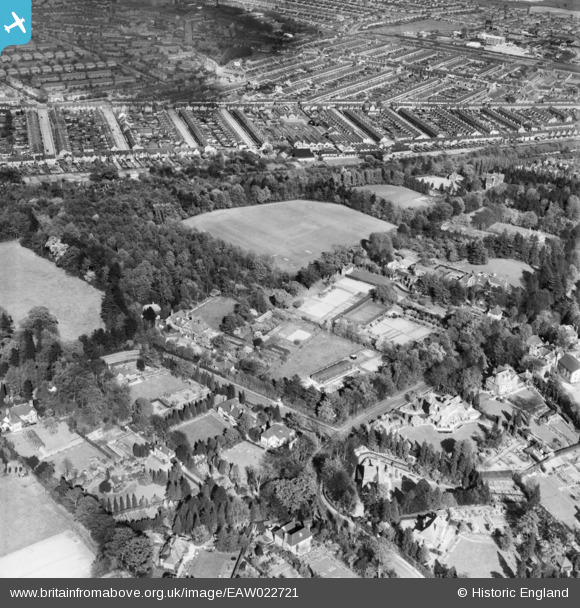
EAW022721 ENGLAND (1949). Langley Road, Playing Fields next to Shirley House Preparatory School for Boys and environs, Watford, 1949
© Copyright OpenStreetMap contributors and licensed by the OpenStreetMap Foundation. 2026. Cartography is licensed as CC BY-SA.
Nearby Images (4)
EAW022721

EAW022722

EAW022719

EAW022720

Details
| Title | [EAW022721] Langley Road, Playing Fields next to Shirley House Preparatory School for Boys and environs, Watford, 1949 |
| Reference | EAW022721 |
| Date | 2-May-1949 |
| Link | |
| Place name | WATFORD |
| Parish | |
| District | |
| Country | ENGLAND |
| Easting / Northing | 510135, 198063 |
| Longitude / Latitude | -0.40719697558991, 51.670068004076 |
| National Grid Reference | TQ101981 |
Pins
Be the first to add a comment to this image!