
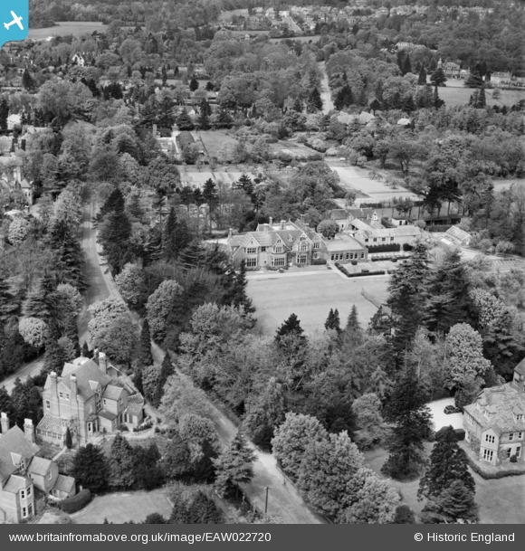
EAW022720 ENGLAND (1949). Shirley House Preparatory School for Boys, Watford, 1949
© Copyright OpenStreetMap contributors and licensed by the OpenStreetMap Foundation. 2026. Cartography is licensed as CC BY-SA.
Nearby Images (5)
EAW022720

EAW022719

EAW022722

EAW022721

EPW006199

Details
| Title | [EAW022720] Shirley House Preparatory School for Boys, Watford, 1949 |
| Reference | EAW022720 |
| Date | 2-May-1949 |
| Link | |
| Place name | WATFORD |
| Parish | |
| District | |
| Country | ENGLAND |
| Easting / Northing | 510171, 197923 |
| Longitude / Latitude | -0.40672071035781, 51.668802516929 |
| National Grid Reference | TQ102979 |
Pins

RobertW |
Saturday 14th of June 2014 09:50:01 AM | |
|
RobertW |
Saturday 14th of June 2014 09:39:59 AM |