
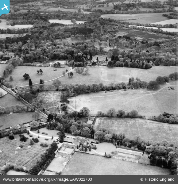
EAW022703 ENGLAND (1949). Pronger's Corner, Newells School and Newells Rough, Lower Beeding, 1949
© Copyright OpenStreetMap contributors and licensed by the OpenStreetMap Foundation. 2025. Cartography is licensed as CC BY-SA.
Nearby Images (4)
EAW022703

EAW022700

EAW022702

EAW022701

Details
| Title | [EAW022703] Pronger's Corner, Newells School and Newells Rough, Lower Beeding, 1949 |
| Reference | EAW022703 |
| Date | 25-April-1949 |
| Link | |
| Place name | LOWER BEEDING |
| Parish | LOWER BEEDING |
| District | |
| Country | ENGLAND |
| Easting / Northing | 521259, 126846 |
| Longitude / Latitude | -0.27066759024333, 51.027636869825 |
| National Grid Reference | TQ213268 |
Pins
Be the first to add a comment to this image!