
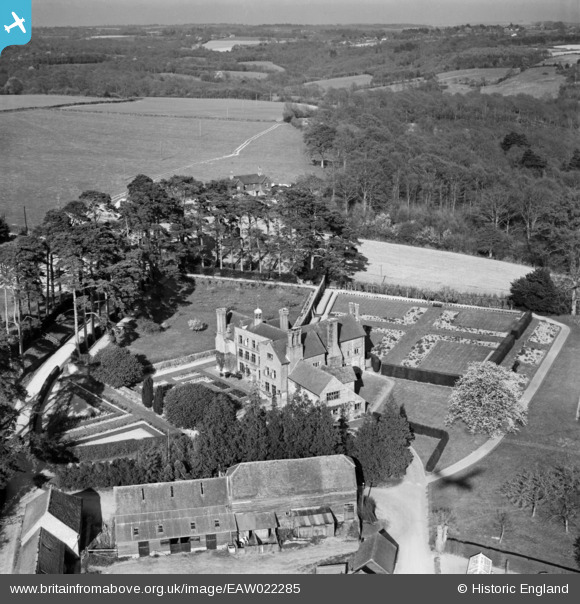
EAW022285 ENGLAND (1949). Treemans, Horsted Keynes, from the south-west, 1949
© Copyright OpenStreetMap contributors and licensed by the OpenStreetMap Foundation. 2025. Cartography is licensed as CC BY-SA.
Nearby Images (5)
EAW022285

EAW022283

EAW022284

EAW022282

EAW022286

Details
| Title | [EAW022285] Treemans, Horsted Keynes, from the south-west, 1949 |
| Reference | EAW022285 |
| Date | 18-April-1949 |
| Link | |
| Place name | HORSTED KEYNES |
| Parish | HORSTED KEYNES |
| District | |
| Country | ENGLAND |
| Easting / Northing | 537903, 126665 |
| Longitude / Latitude | -0.033509035845435, 51.02225750112 |
| National Grid Reference | TQ379267 |
Pins
Be the first to add a comment to this image!