
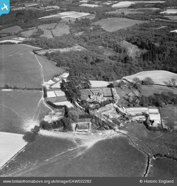
EAW022282 ENGLAND (1949). Treemans and surrounding countryside, Horsted Keynes, 1949
© Copyright OpenStreetMap contributors and licensed by the OpenStreetMap Foundation. 2025. Cartography is licensed as CC BY-SA.
Nearby Images (5)
EAW022282

EAW022284

EAW022283

EAW022286

EAW022285

Details
| Title | [EAW022282] Treemans and surrounding countryside, Horsted Keynes, 1949 |
| Reference | EAW022282 |
| Date | 18-April-1949 |
| Link | |
| Place name | HORSTED KEYNES |
| Parish | HORSTED KEYNES |
| District | |
| Country | ENGLAND |
| Easting / Northing | 537978, 126687 |
| Longitude / Latitude | -0.032431840620638, 51.0224372379 |
| National Grid Reference | TQ380267 |
Pins

Bouthemy |
Thursday 10th of July 2025 07:20:02 PM |