
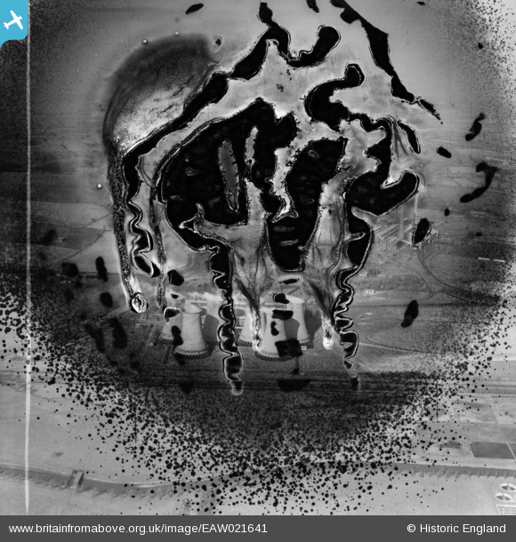
EAW021641 ENGLAND (1949). Hams Hall Power Station A, Curdworth, from the south-west, 1949. This image has been produced from a damaged negative.
© Copyright OpenStreetMap contributors and licensed by the OpenStreetMap Foundation. 2026. Cartography is licensed as CC BY-SA.
Nearby Images (21)
EAW021641

EAW021640

EAW021639

EPW023682

EPW060886

EPW060884

EAW021642

EPW060879

EPW023684

EPW023692

EPW060885

EPW023687

EPW023683

EPW023694

EPW023685

EPW023691

EPW023686

EPW023681

EPW060882

EPW060883

EAW021643

Details
| Title | [EAW021641] Hams Hall Power Station A, Curdworth, from the south-west, 1949. This image has been produced from a damaged negative. |
| Reference | EAW021641 |
| Date | 25-March-1949 |
| Link | |
| Place name | CURDWORTH |
| Parish | CURDWORTH |
| District | |
| Country | ENGLAND |
| Easting / Northing | 419367, 291675 |
| Longitude / Latitude | -1.7145287348566, 52.5222439122 |
| National Grid Reference | SP194917 |
Pins
Be the first to add a comment to this image!