
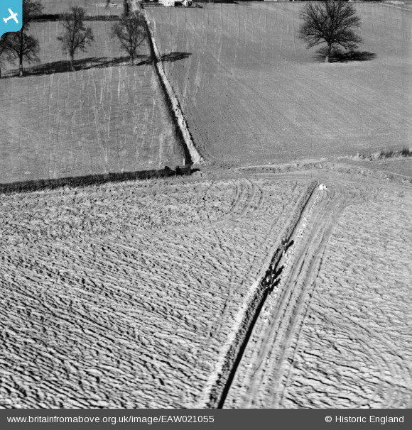
EAW021055 ENGLAND (1949). Drain laying in fields to the north of the village, Terling, 1949. This image has been produced from a damaged negative.
© Copyright OpenStreetMap contributors and licensed by the OpenStreetMap Foundation. 2026. Cartography is licensed as CC BY-SA.
Nearby Images (3)
EAW021055

EAW021053

EAW021054

Details
| Title | [EAW021055] Drain laying in fields to the north of the village, Terling, 1949. This image has been produced from a damaged negative. |
| Reference | EAW021055 |
| Date | 16-February-1949 |
| Link | |
| Place name | TERLING |
| Parish | TERLING |
| District | |
| Country | ENGLAND |
| Easting / Northing | 577510, 215418 |
| Longitude / Latitude | 0.57519590709049, 51.80872508694 |
| National Grid Reference | TL775154 |
Pins
Be the first to add a comment to this image!