
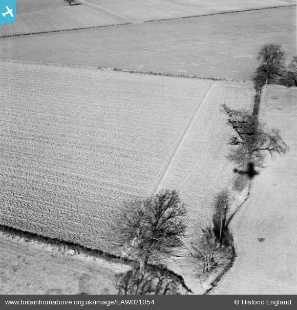
EAW021054 ENGLAND (1949). Drain laying in fields to the north of the village, Terling, 1949
© Copyright OpenStreetMap contributors and licensed by the OpenStreetMap Foundation. 2026. Cartography is licensed as CC BY-SA.
Nearby Images (3)
EAW021054

EAW021053

EAW021055

Details
| Title | [EAW021054] Drain laying in fields to the north of the village, Terling, 1949 |
| Reference | EAW021054 |
| Date | 16-February-1949 |
| Link | |
| Place name | TERLING |
| Parish | TERLING |
| District | |
| Country | ENGLAND |
| Easting / Northing | 577649, 215298 |
| Longitude / Latitude | 0.57714870827166, 51.80760298032 |
| National Grid Reference | TL776153 |
Pins
Be the first to add a comment to this image!