
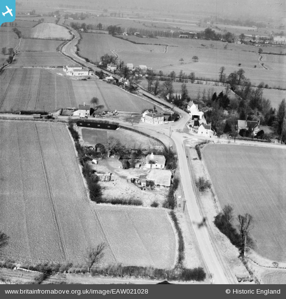
EAW021028 ENGLAND (1949). The village, Leaden Roding, 1949
© Copyright OpenStreetMap contributors and licensed by the OpenStreetMap Foundation. 2026. Cartography is licensed as CC BY-SA.
Nearby Images (2)
EAW021028

EAW021029

Details
| Title | [EAW021028] The village, Leaden Roding, 1949 |
| Reference | EAW021028 |
| Date | 16-February-1949 |
| Link | |
| Place name | LEADEN RODING |
| Parish | LEADEN RODING |
| District | |
| Country | ENGLAND |
| Easting / Northing | 559464, 213319 |
| Longitude / Latitude | 0.31267424002437, 51.795305862615 |
| National Grid Reference | TL595133 |
Pins

aveling8837 |
Wednesday 8th of January 2014 10:54:40 PM |