
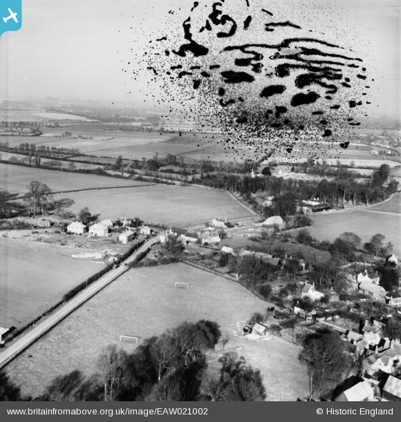
EAW021002 ENGLAND (1949). The village, Britwell Salome, from the south, 1949. This image has been produced from a damaged negative.
© Copyright OpenStreetMap contributors and licensed by the OpenStreetMap Foundation. 2026. Cartography is licensed as CC BY-SA.
Nearby Images (2)
EAW021002

EAW021003

Details
| Title | [EAW021002] The village, Britwell Salome, from the south, 1949. This image has been produced from a damaged negative. |
| Reference | EAW021002 |
| Date | 11-February-1949 |
| Link | |
| Place name | BRITWELL SALOME |
| Parish | BRITWELL SALOME |
| District | |
| Country | ENGLAND |
| Easting / Northing | 467057, 193098 |
| Longitude / Latitude | -1.0310283864296, 51.632223398563 |
| National Grid Reference | SU671931 |
Pins
Be the first to add a comment to this image!