
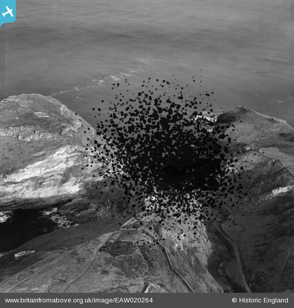
EAW020264 ENGLAND (1948). The Island and Barras Nose, Tintagel, 1948. This image has been produced from a damaged negative.
© Copyright OpenStreetMap contributors and licensed by the OpenStreetMap Foundation. 2026. Cartography is licensed as CC BY-SA.
Nearby Images (12)
EAW020264

EAW005830

EAW031041

EAW031043

EAW031042

EAW031045

EAW031046

EAW005831

EAW031015

EAW005828

EAW005829

EAW005832

Details
| Title | [EAW020264] The Island and Barras Nose, Tintagel, 1948. This image has been produced from a damaged negative. |
| Reference | EAW020264 |
| Date | 27-October-1948 |
| Link | |
| Place name | TINTAGEL |
| Parish | TINTAGEL |
| District | |
| Country | ENGLAND |
| Easting / Northing | 205119, 89226 |
| Longitude / Latitude | -4.7582102881307, 50.669454999501 |
| National Grid Reference | SX051892 |
Pins
Be the first to add a comment to this image!