
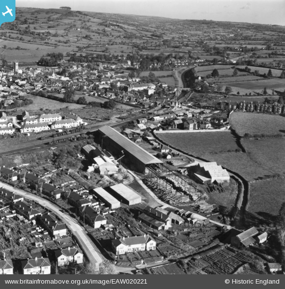
EAW020221 ENGLAND (1948). The George Blay Ltd Saw Mill and environs, Honiton, from the south-west, 1948. This image has been produced from a print.
© Copyright OpenStreetMap contributors and licensed by the OpenStreetMap Foundation. 2026. Cartography is licensed as CC BY-SA.
Nearby Images (7)
EAW020221

EAW020219

EAW020223

EAW020224

EAW020222

EAW020220

EAW020218

Details
| Title | [EAW020221] The George Blay Ltd Saw Mill and environs, Honiton, from the south-west, 1948. This image has been produced from a print. |
| Reference | EAW020221 |
| Date | 26-October-1948 |
| Link | |
| Place name | HONITON |
| Parish | HONITON |
| District | |
| Country | ENGLAND |
| Easting / Northing | 316246, 100061 |
| Longitude / Latitude | -3.1884575437526, 50.793491209139 |
| National Grid Reference | ST162001 |
