
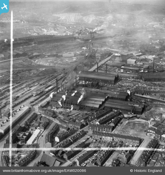
EAW020086 ENGLAND (1948). The English Steel Corporation Stevenson Road Works, Attercliffe, 1948. This image has been produced from a print marked by Aerofilms Ltd for photo editing.
© Copyright OpenStreetMap contributors and licensed by the OpenStreetMap Foundation. 2026. Cartography is licensed as CC BY-SA.
Nearby Images (17)
EAW020086

EAW020082

EAW020078

EAW018787

EAW018792

EAW020087

EAW020084

EAW018789

EAW018790

EAW018791

EAW018788

EAW020079

EAW020083

EAW020081

EAW020080

EAW020085

EAW040021

Details
| Title | [EAW020086] The English Steel Corporation Stevenson Road Works, Attercliffe, 1948. This image has been produced from a print marked by Aerofilms Ltd for photo editing. |
| Reference | EAW020086 |
| Date | 19-October-1948 |
| Link | |
| Place name | ATTERCLIFFE |
| Parish | |
| District | |
| Country | ENGLAND |
| Easting / Northing | 437529, 388891 |
| Longitude / Latitude | -1.435562243592, 53.395253111484 |
| National Grid Reference | SK375889 |
Pins
Be the first to add a comment to this image!