
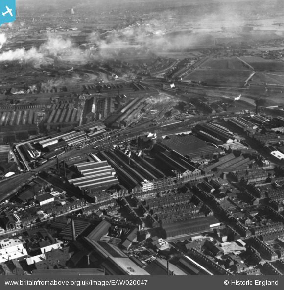
EAW020047 ENGLAND (1948). The Staybrite Steel Works and environs, Tinsley, 1948. This image has been produced from a print.
© Copyright OpenStreetMap contributors and licensed by the OpenStreetMap Foundation. 2026. Cartography is licensed as CC BY-SA.
Nearby Images (29)
EAW020047

EAW020045

EAW020051

EAW020048

EAW020052

EAW018762

EPW041540

EPW041545

EPW041541

EPW041543

EAW020050

EPW041544

EAW018760

EAW018763

EAW020043

EAW020042

EAW018759

EAW018761

EAW018798

EPW061486

EAW020046

EPW041542

EAW020044

EPW061482

EPW061487

EPW061485

EPW061483

EPW061484

EPW061488

Details
| Title | [EAW020047] The Staybrite Steel Works and environs, Tinsley, 1948. This image has been produced from a print. |
| Reference | EAW020047 |
| Date | 19-October-1948 |
| Link | |
| Place name | TINSLEY |
| Parish | |
| District | |
| Country | ENGLAND |
| Easting / Northing | 439171, 390494 |
| Longitude / Latitude | -1.4106688106796, 53.409543406323 |
| National Grid Reference | SK392905 |
Pins
Be the first to add a comment to this image!