
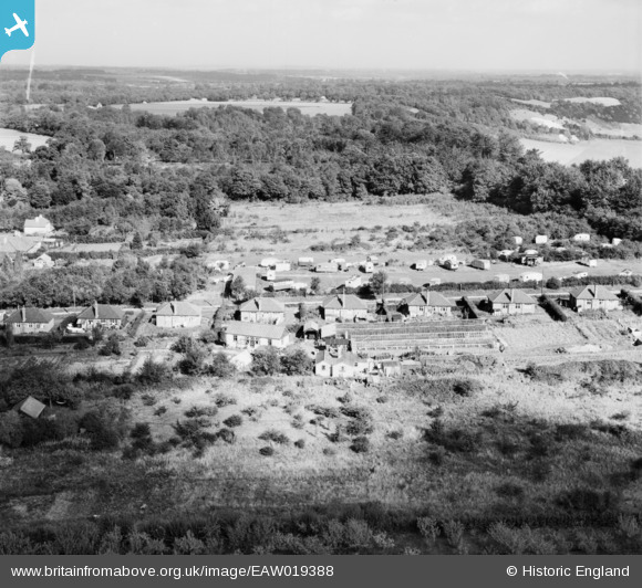
EAW019388 ENGLAND (1948). Boxhill Nurseries on Clump Avenue, Box Hill, 1948
© Copyright OpenStreetMap contributors and licensed by the OpenStreetMap Foundation. 2026. Cartography is licensed as CC BY-SA.
Nearby Images (10)
EAW019388

EAW019378

EAW019385

EAW019375

EAW019386

EAW019443

EAW019377

EAW019384

EAW019374

EAW019373

Details
| Title | [EAW019388] Boxhill Nurseries on Clump Avenue, Box Hill, 1948 |
| Reference | EAW019388 |
| Date | 30-September-1948 |
| Link | |
| Place name | BOX HILL |
| Parish | |
| District | |
| Country | ENGLAND |
| Easting / Northing | 520259, 151779 |
| Longitude / Latitude | -0.27659525713649, 51.251969951428 |
| National Grid Reference | TQ203518 |
Pins
Be the first to add a comment to this image!