
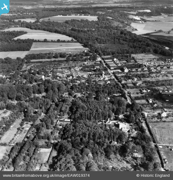
EAW019374 ENGLAND (1948). The Caravan Park on Batchelor's Rough, Boxhill Road and environs, Box Hill, 1948. This image has been produced from a print.
© Copyright OpenStreetMap contributors and licensed by the OpenStreetMap Foundation. 2026. Cartography is licensed as CC BY-SA.
Nearby Images (12)
EAW019374

EAW019373

EAW019385

EAW019377

EAW019367

EAW019384

EAW019372

EAW019366

EAW019375

EAW019378

EAW019388

EAW019368

Details
| Title | [EAW019374] The Caravan Park on Batchelor's Rough, Boxhill Road and environs, Box Hill, 1948. This image has been produced from a print. |
| Reference | EAW019374 |
| Date | 30-September-1948 |
| Link | |
| Place name | BOX HILL |
| Parish | |
| District | |
| Country | ENGLAND |
| Easting / Northing | 520024, 151898 |
| Longitude / Latitude | -0.2799214380657, 51.253089142818 |
| National Grid Reference | TQ200519 |
Pins
Be the first to add a comment to this image!