
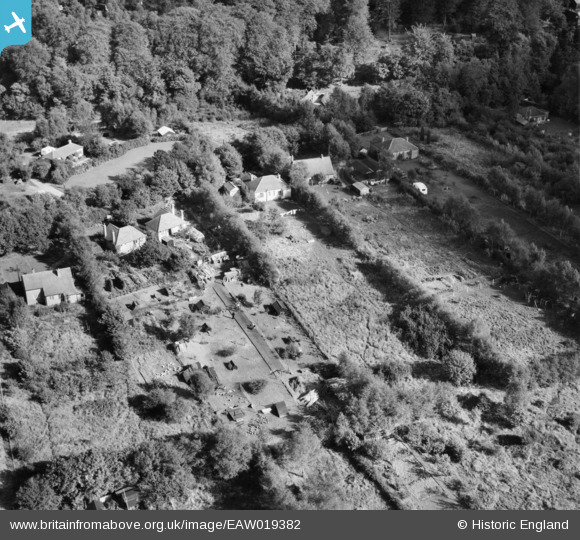
EAW019382 ENGLAND (1948). Ashurst Drive, Box Hill, 1948
© Copyright OpenStreetMap contributors and licensed by the OpenStreetMap Foundation. 2026. Cartography is licensed as CC BY-SA.
Nearby Images (5)
EAW019382

EAW019366

EAW019367

EAW019365

EAW019371

Details
| Title | [EAW019382] Ashurst Drive, Box Hill, 1948 |
| Reference | EAW019382 |
| Date | 30-September-1948 |
| Link | |
| Place name | BOX HILL |
| Parish | |
| District | |
| Country | ENGLAND |
| Easting / Northing | 519752, 151983 |
| Longitude / Latitude | -0.28378917259471, 51.253910393569 |
| National Grid Reference | TQ198520 |
Pins
Be the first to add a comment to this image!