
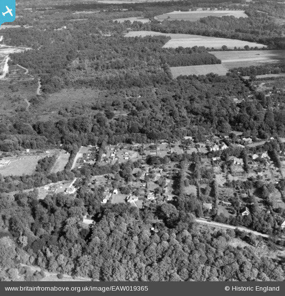
EAW019365 ENGLAND (1948). Headley Heath Approach, Ashurst Drive and Batchelor's Rough, Box Hill, 1948. This image has been produced from a print.
© Copyright OpenStreetMap contributors and licensed by the OpenStreetMap Foundation. 2026. Cartography is licensed as CC BY-SA.
Nearby Images (6)
EAW019365

EAW019364

EAW019371

EAW019366

EAW019382

EAW019372

Details
| Title | [EAW019365] Headley Heath Approach, Ashurst Drive and Batchelor's Rough, Box Hill, 1948. This image has been produced from a print. |
| Reference | EAW019365 |
| Date | 30-September-1948 |
| Link | |
| Place name | BOX HILL |
| Parish | |
| District | |
| Country | ENGLAND |
| Easting / Northing | 519768, 152186 |
| Longitude / Latitude | -0.28349201557124, 51.255731767928 |
| National Grid Reference | TQ198522 |
Pins
Be the first to add a comment to this image!