
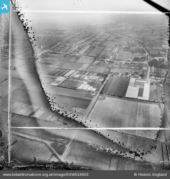
EAW018603 ENGLAND (1948). The A. G. West and Co Nurseries and the surrounding area, Cottingham, from the north, 1948. This image has been produced from a damaged negative.
© Copyright OpenStreetMap contributors and licensed by the OpenStreetMap Foundation. 2026. Cartography is licensed as CC BY-SA.
Nearby Images (6)
EAW018603

EAW018596

EAW018605

EAW018594

EAW018601

EAW018598

Details
| Title | [EAW018603] The A. G. West and Co Nurseries and the surrounding area, Cottingham, from the north, 1948. This image has been produced from a damaged negative. |
| Reference | EAW018603 |
| Date | 10-September-1948 |
| Link | |
| Place name | COTTINGHAM |
| Parish | COTTINGHAM |
| District | |
| Country | ENGLAND |
| Easting / Northing | 505712, 433419 |
| Longitude / Latitude | -0.3952912350161, 53.786125891214 |
| National Grid Reference | TA057334 |
Pins

John Wass |
Saturday 29th of November 2014 03:14:29 PM |