
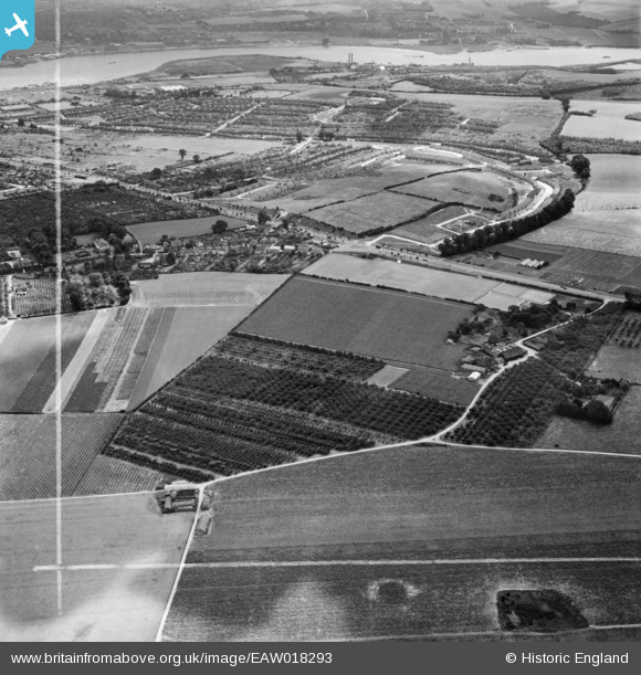
EAW018293 ENGLAND (1948). Chapter Farm and Strood, Higham, 1948. This image was marked by Aerofilms Ltd for photo editing.
© Copyright OpenStreetMap contributors and licensed by the OpenStreetMap Foundation. 2026. Cartography is licensed as CC BY-SA.
Nearby Images (5)
EAW018293

EAW018295

EAW018294

EAW018290
 and the surrounding area, Higham, 1948. This image has been produced from a damaged negative.")
EAW018291

Details
| Title | [EAW018293] Chapter Farm and Strood, Higham, 1948. This image was marked by Aerofilms Ltd for photo editing. |
| Reference | EAW018293 |
| Date | 20-August-1948 |
| Link | |
| Place name | HIGHAM |
| Parish | HIGHAM |
| District | |
| Country | ENGLAND |
| Easting / Northing | 571760, 169799 |
| Longitude / Latitude | 0.46951671103905, 51.400684449969 |
| National Grid Reference | TQ718698 |
Pins
Be the first to add a comment to this image!