
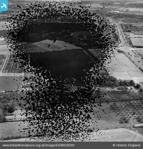
EAW018290 ENGLAND (1948). Chapter Farm (site of) and the surrounding area, Higham, 1948. This image has been produced from a damaged negative.
© Copyright OpenStreetMap contributors and licensed by the OpenStreetMap Foundation. 2026. Cartography is licensed as CC BY-SA.
Nearby Images (7)
EAW018290
 and the surrounding area, Higham, 1948. This image has been produced from a damaged negative.")
EAW018294

EAW018291

EAW018295

EAW018293

EAW018289

EAW018292

Details
| Title | [EAW018290] Chapter Farm (site of) and the surrounding area, Higham, 1948. This image has been produced from a damaged negative. |
| Reference | EAW018290 |
| Date | 20-August-1948 |
| Link | |
| Place name | HIGHAM |
| Parish | HIGHAM |
| District | |
| Country | ENGLAND |
| Easting / Northing | 571654, 169708 |
| Longitude / Latitude | 0.4679501650573, 51.399898966987 |
| National Grid Reference | TQ717697 |
Pins
Be the first to add a comment to this image!